PGS to Cover Aasta Hansteen in 2016
Ocean News
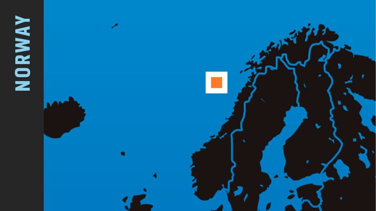
In May 2016, PGS will commence acquisition of a new 4 400 sq. km 3D GeoStreamer® survey over the Aasta Hansteen area of the Norwegian Sea, to be completed in August 2016. Fast track data will be available four months after the final shot.
This prefunded MultiClient project is situated on the Nyk High in the outer Vøring area. It addresses imaging challenges caused by deep water and structurally complex geology, due to several episodes of rifting, compression and subsidence.
In addition to providing an excellent basis for exploration decisions, the dataset can be used as a baseline survey for future 4D studies, making this a cost effective solution for exploration, evaluation, field development and production monitoring.
This is our fifth consecutive year of safe and reliable GeoStreamer acquisition in the Norwegian Sea. PGS will use its newest flagship, the Ramform Tethys, to deploy a highly effective deep-tow acquisition configuration of 16 streamers with 75 m separation.
The application of GeoStreamer technology will improve seismic velocity estimation, and imaging of the structures beneath the basaltic dykes and sills. It will also boost signal penetration of the remobilized ooze that besets this area.
PSDM and velocity model building technology will ensure that the clearest subsurface images are generated. PGS' Complete Wavefield Imaging (CWI) workflow specifically addresses the challenges of accurate velocity estimation in areas of complex overburden geology, utilizing the fact that GeoStreamer dual-sensor technology provides several complementary wavefield recordings. This yields more accurate velocity models, high resolution images, and accounts for absorption (Q).