MacArtney Provides MBES Hydrographic System for the Island of Corsica
Ocean News

Bathymetric chart of Bastia harbor by MacArtney France during installation and testing
MacArtney France has delivered a portable Multi-Beam Echo Sounder Hydrographic System, designed for small vessels, to the French government organization, Collectivité de Corse, in Corsica, France.
The Collectivité de Corse, a government organization, represents the interests of the community of Corsica - a Mediterranean island off the south coast of France. The island of Corsica is an area of outstanding natural beauty with a unique cultural heritage. Large parts of the island are designated as the Parc Naturel Régional de Corse, not only to protect the natural landscape but the local population and cultural heritage of the region too.
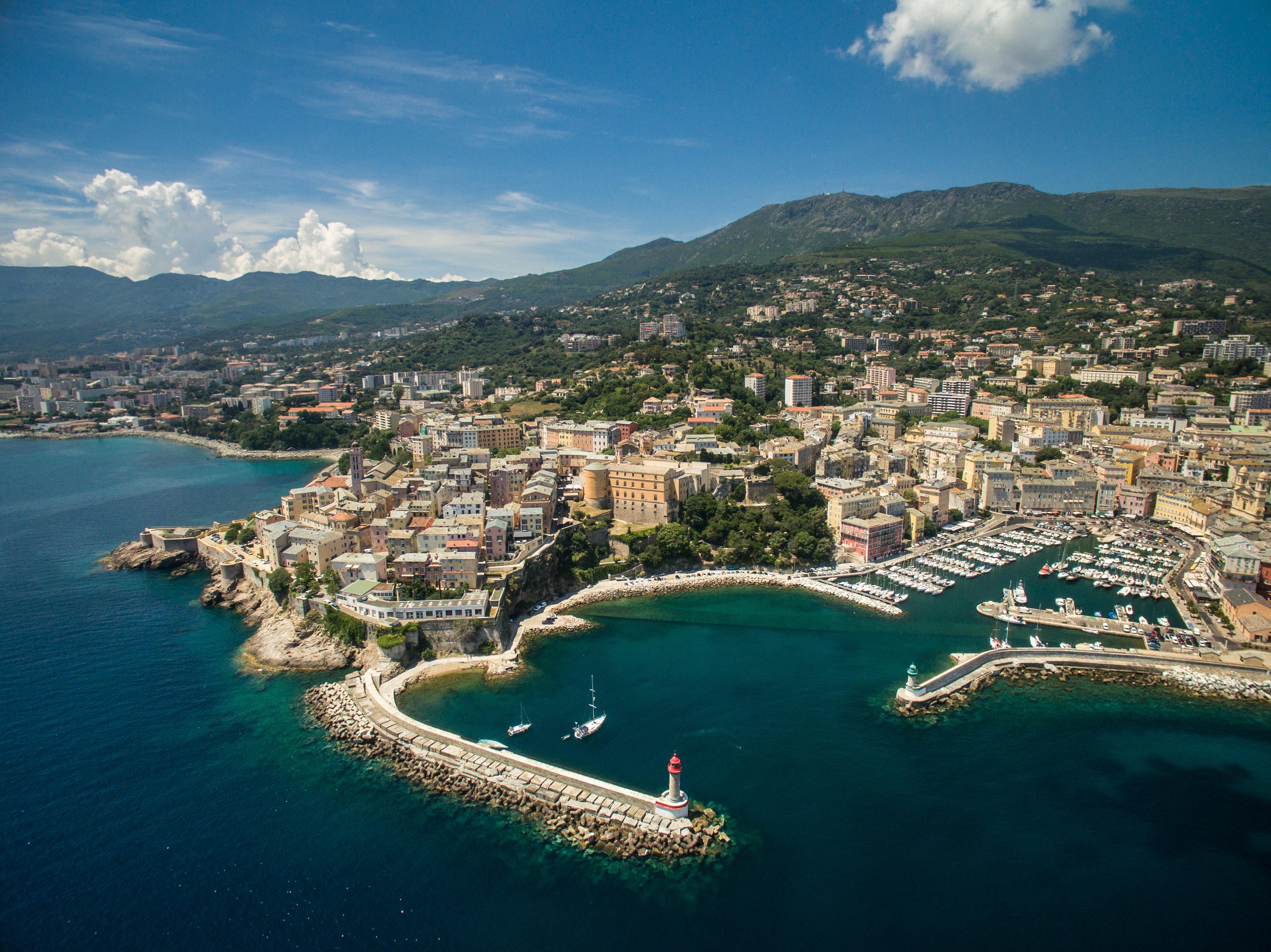 The Corsican harbour of Bastia
With 1000 km of coastline, the island attracts many tourists and cruise ships creating the need for an MBES hydrographic system, but one small enough and versatile enough to be portable by road across the island to Corsica’s many harbours. The purpose of the MBES Hydrographic System is to ensure visiting vessels can securely navigate the harbours of the island, monitor the seabed to control the quality of dredging, identify obstructions on the sea floor and finally verify underwater installations, for example, the quaysides and hexapods of the Corsican harbors.
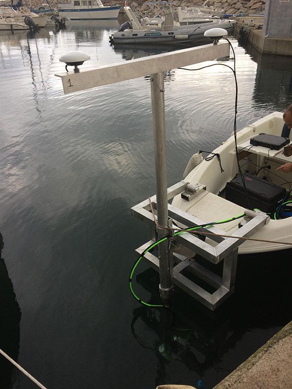 Installation of portable MBES Hydrographic System on harbor maintenance vessel
As system solution specialists, MacArtney France worked with trusted partners Kongsberg, Valeport and SBG Systems on this project to fulfil the project specific needs and supply an adaptable MBES Hydrographic System that meets the standards set down by the International Hydrographic Organization (IHO).
Previously the MBES Hydrographic System surveys were completed with Single-Beam Echo Sounder resulting in longer survey times and poor accuracy in results. This new bathymetric system from MacArtney France will reduce survey time, increase accuracy, expand survey area reach and ensure a comprehensive hydrographic survey system.
MacArtney France delivered the MBES Hydrographic System in December 2018 and integrated the full scope of supply to provide a portable and robust solution:
- Kongsberg Mesotech M3® sonar*
- Subsea SBG NavSight inertial navigation system
- Valeport miniSVS
- 4G modem for receiving RTK corrections
- Hypack software for acquisition and processing
- Pole for deployment
- Onsite installation and training
*The Mesotech M3® sonar on this project will be used in profiling mode. However, the sonar head can be freely orientated frontward to activate imagery mode without further software or license.