Teledyne CARIS Depth Data Management System for Danish Geodata Agency
Ocean News
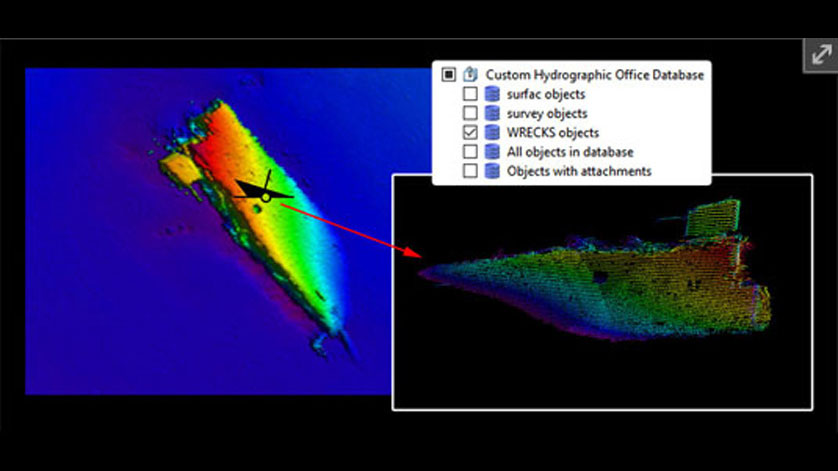
Through a competitive process, The Danish Geodata Agency (Geodatastyrelsen – GST) has selected Bathy DataBASE™ (BDB) as the new system for Depth Data Management for current and future needs. The robust system will help increase efficiencies in data management and optimize the maritime production chain, from survey to chart.
![]() GST is responsible for surveying and charting the waters around Denmark, the Faroe Islands and Greenland to ensure safe passage at sea, in accordance with international standards and conventions. The project to implement BDB will include deployment of software and migration of existing data. Implementation of the new system is scheduled to begin mid-September 2018, with completion in the spring of 2019.
GST is responsible for surveying and charting the waters around Denmark, the Faroe Islands and Greenland to ensure safe passage at sea, in accordance with international standards and conventions. The project to implement BDB will include deployment of software and migration of existing data. Implementation of the new system is scheduled to begin mid-September 2018, with completion in the spring of 2019.
Peter Schwarzberg, Sales Manager, EMEA: “This is an exciting opportunity for Teledyne CARIS to continue our work with the Danish Geodata Agency; expanding our cooperation through this project and our common vision. We feel very honoured to have been selected and are excited to begin implementation.”
Geodatastyrelsen (GST) follows successful CARIS software integrations in the other Nordic countries. In 2016, Teledyne CARIS was awarded two major implementation contracts providing both Bathy DataBASE™ (BDB) for survey data management and Hydrographic Production Database™ (HPD) for chart production to The Finnish Transport Agency Liikennevirasto. In 2015, Teledyne CARIS was awarded a major implementation contract providing Hydrographic Production Database (HPD) to the Swedish Maritime Administration. Other successful implementations in the Baltic Sea region include solutions for the Norwegian, German, Polish, Latvian, Netherlands, and United Kingdom hydrographic agencies.