Teledyne Geospatial Showcasing Latest Software and Hardware Solutions to Oi 2022
Ocean News
Teledyne Geospatial, a Teledyne Technologies company, will exhibit their latest hydrographic software and lidar hardware solutions at Oceanology International 2022, in London, UK, March 15-17.
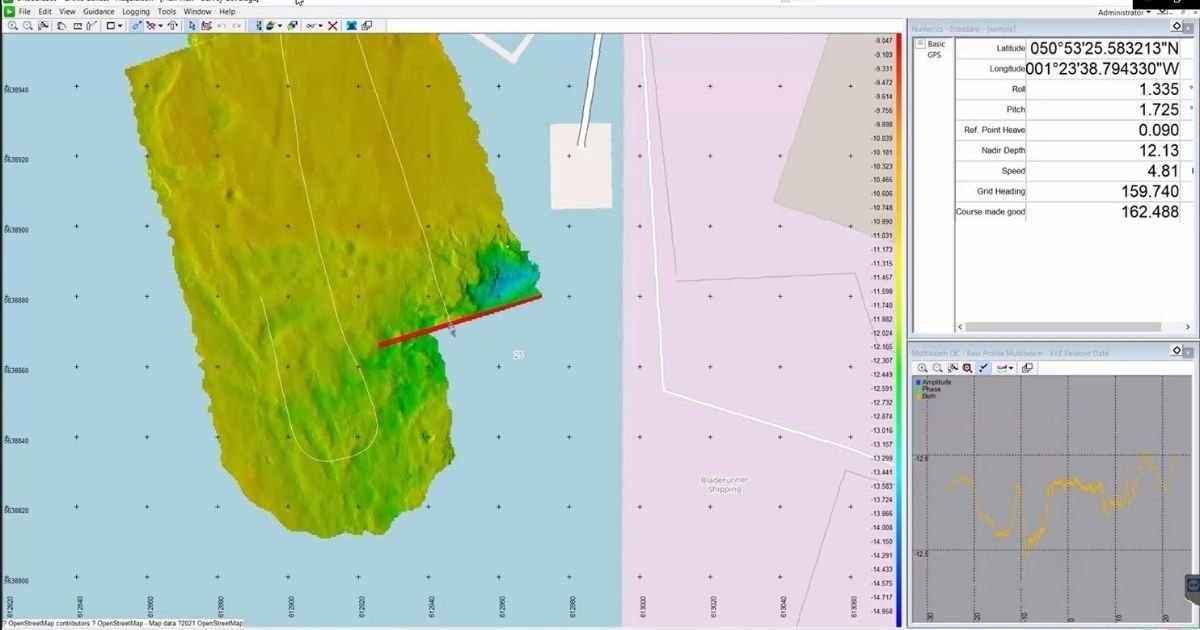
 Teledyne Geospatial will exhibit at booth H500 and feature CARIS Collect, a modern and easy to use software package for data acquisition and the CARIS Mira AI platform, featuring the Sonar Noise Classifier and the Admiralty GAM. Visitors can also learn about the world’s most advanced airborne lidar bathymeter, the CZMIL SuperNova and the Optech TLS-M3 terrestrial laser scanner for mobile marine applications. Find out how Teledyne Geospatial is underpinning CZMIL SuperNova bathymetric sensor with robust CARIS ocean mapping workflow tools to reduce processing times providing efficiencies in project delivery.
On Wednesday March 16th, at 11:00 a.m., catch a presentation by Andy Hoggarth, Vice-President of Customer Service at Teledyne Geospatial at the Teledyne Marine booth (F100, G100) on “AI Bathymetric Cleaning Tools to Support Successful Seabed Mapping”.
Live on-boat demos will showcase Teledyne’s one-source marine survey capability. Get a firsthand look at Teledyne Optech TLS-M3 lidar, Teledyne Marine Z-Boat, sonar and Teledyne CARIS Onboard software. Catch an Onboard demo streaming live from the Teledyne Marine boat to the Teledyne Geospatial booth.