The Future of Autonomous Subsea Surveys
Olivier Moisan
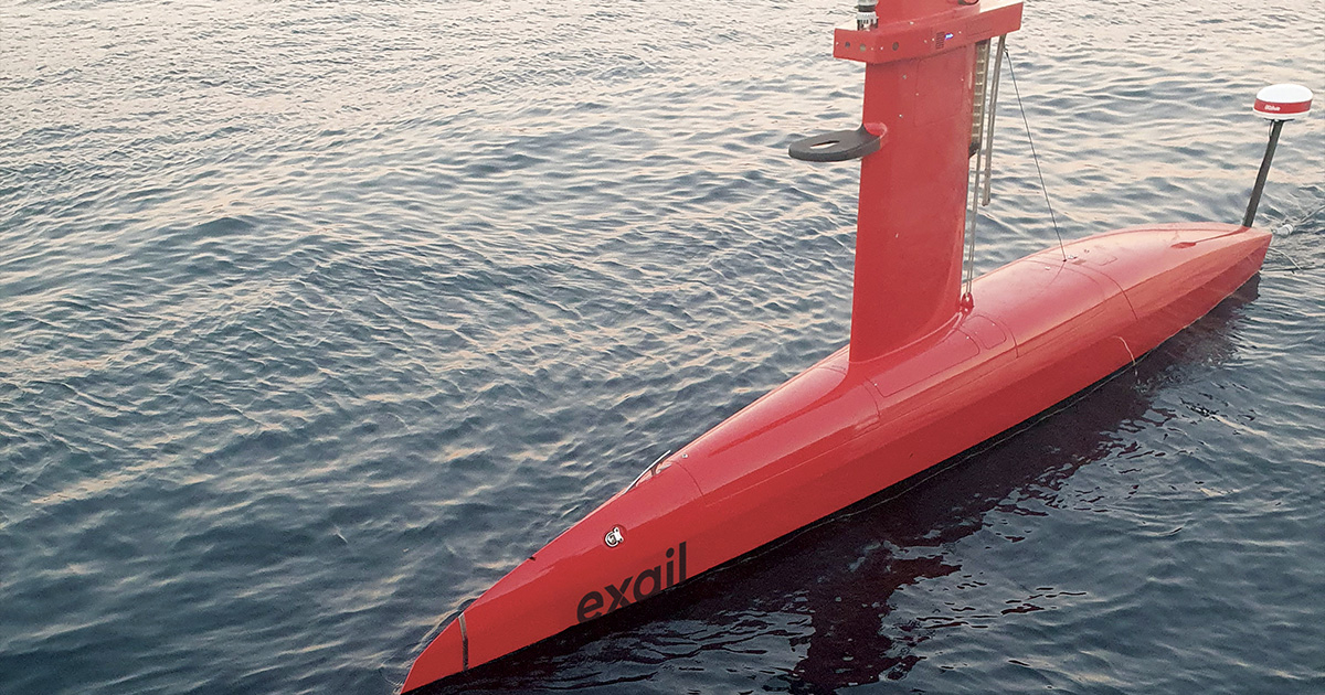
DriX (Image credit: Exail)
It’s a world first. With the concerted use of a DriX uncrewed surface vehicle (USV) and a FlipiX remotely operated towed vehicle (ROTV), Exail continues to push the boundaries of marine technology to provide customers with a unique uncrewed solution that will redefine how operators carry out bathymetric and geophysical surveys.
With the ongoing development of ocean-based infrastructure—offshore windfarms, cables, and pipelines, etc.—accurate surveys of the seabed provide critical data needed for pre-installation project planning. The Drix USV is renowned for being able to integrate various payloads in its gondola (2 meters below the surface), however, certain projects require higher resolutions only made possible by sensors operating closer to the actual seabed.
Leveraging the company’s extensive experience in the design and fabrication of next-generation ocean technology, Exail recently engineered a new ROTV—FlipiX—conceived to operate alongside a DriX USV to service the demand from the offshore industry for cost-effective high resolution bathymetric, geophysical, and Unexploded Ordnance (UXO) survey campaigns.
Compact in size—1.8 (L) x 2.7 m (W)—FlipiX is a full composite, agile, and versatile vehicle with active pitch and roll motion control and stabilization. The ROTV can be towed by a USV or a conventional vessel and operated at fixed altitude or fixed depth—up to a 100 m depth and as close at 1 m from the seabed for optimum measurement quality and resolution. FlipiX Control software is directly implemented in DriX’s Human Machine Interface, a web-based interface allowing multiple users to easily and efficiently supervise both DriX and FlipiX from the same access point.
When designing FlipiX, Exail teams set about to create an intuitive, user-friendly vehicle that would respond to DriX’s behavior. Its positive buoyancy is a significant advantage in operation. During a typical survey mission, if DriX is stopped for some reason, FlipiX will then slowly rise to the surface instead of sinking to the bottom like a conventional towed heavy weight payload. As soon as DriX resumes its mission, FlipiX repositions itself at the requested depth/altitude. DriX was designed with optimal maneuverability in mind, so when the USV makes sharp turns in between survey lines, FlipiX will mirror the pattern and stay at the same depth or altitude. For the end users, this stability and accuracy translates into increased survey control and efficiency.
MULTI-SENSOR PAYLOAD
From a system’s perspective, DriX and FlipiX have been designed around an open platform concept. Thanks to their open architecture, they can accommodate best-in-class payloads for a wide range of missions. As an example of configuration tested at sea, DriX’s payload gondola is fitted with one of Exail's Phins Compact C7 Inertial Navigation System, a multibeam echosounder, an Exail Echoes T1 sub-bottom profiler, and an Exail M5 USBL system GAPS to position the FlipiX underwater.
The FlipiX is currently equipped with an Edgetech 4205 side-scan sonar, the gold standard in the industry, providing first-class data acquisition up to 850Khz frequency. The side-scan sonar provides high quality imagery data of the seafloor. These quality data are ideal for the inspection of underwater structures, identification of potential UXO (unexploded objects), and seabed and habitat classification. A G882 Cesium Vapour magnetometer from Geometrics towed 2 m behind FlipiX is also fitted and is ideal for UXO detection projects thanks to its resolution and detection capabilities.
A Valeport MiniSVS fitted with a pressure sensor enables FlipiX to collect sound velocity profiles during the ROTV’s dive from the surface to the seabed. FlipiX real-time underwater position is tracked by an Exail MT9 transponder.
Other payload configurations for additional missions are already being studied by Exail engineers.
For the customers, one of the main advantages of using DriX and FlipiX together is that in a single line, sailing between 5 to 6 kts, these two vehicles deliver high-resolution seabed mapping capabilities, combining multibeam, sub bottom, side-scan sonar and magnetometer data. Test campaigns from April to September 2023 have garnered very positive results.
LONG-ENDURANCE USV
Meanwhile, the success story of Exail’s DriX continues for commercial customers worldwide, demonstrating that, with an average fuel consumption of only 2 liters of fuel per hour, a long-endurance USV can perform round-the-clock missions in the most demanding offshore conditions.
DriX can perform a very accurate surface, ocean, and seabed survey for up to 10 days with a minimal environmental footprint compared to a crewed ship. DriX USVs are currently being used on several scientific survey campaigns around the world to assess the impact of windfarm construction on the surrounding marine ecosystem, as well as to monitor the ongoing operation of offshore structures such as turbines, underwater cables, and seafloor pipelines.
By transmitting data in real time to clients via line of sight and Satcom, DriX’s steady integration into the offshore developer’s toolkit of autonomous systems represents a game-changing approach to safe, efficient, and increasingly carbon conscious marine survey and seabed monitoring procedures.
This story was originally featured in ON&T Special Edition 2023. Click here to read more.