Not All Boats are Created Equal When it Comes to Offshore Wind Surveying
Mike Conn
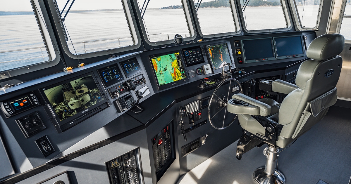
Helm set up for vessel navigation and systems monitoring, with two dedicated screens fed from the survey lab. (Image credit: NV5-Geodynamics)
Activity is heating up along the nation’s coastlines as the Biden Administration seeks to meet its goal of deploying 30,000 MW of offshore wind energy by 2030. Yet before these projects can become reality, a range of nearshore and offshore surveys are needed to assess site suitability, environmental impacts, and ensure regulatory compliance.
Vessels typically being used today for offshore wind surveys are, in large part, not ideally suited for such diverse project requirements. They’re often too big and expensive, or repurposed from other industries without the expertise to take on such sophisticated work. But a new class of vessel is emerging; ones that are purpose-built to handle the distinctive demands of these projects and deliver accurate data from the deep sea, where turbines are located, to the cable landings on the shoreline.
ADDRESSING SURVEY CHALLENGES
Accurate, timely surveys are the foundation for offshore wind deployments. But surveys are not without significant challenges:
- Varying water depth—The transition from shallow nearshore to deep water; underwater terrain that includes rocky areas, uneven sediment, and other obstacles; water turbidity and limited visibility require surveyors to adapt their methods and equipment.
- Remote locations—These present logistical challenges, including the time and expense to transport survey equipment and personnel.
- Marine wildlife and habitats—Working in these protected areas requires compliance with environmental regulations and assessment of potential impacts on marine wildlife, including migratory routes, feeding grounds and breeding areas.
- Long project lifecycles—Surveys are typically conducted at various stages, from site selection and feasibility studies to ongoing monitoring, which can make it tricky to maintain data continuity and consistency over extended periods of time.
- Cost and time—Comprehensive surveys can be costly and time-consuming because of the scale and complexity of the projects, which leaves project developers trying to balance the need to stay on time and on budget.
Because they are so complex, offshore wind projects require specialized boats and survey technology. But too often, the vessels being used are not purpose built to specifically address these unique needs.
Currently many surveys are done with large vessels operated by European companies and manned by independent, contracted crews. This poses many problems. Use of these vessels is very expensive and their access to certain areas is limited by water depth and international maritime laws. Large, important swaths are left unsurveyed, requiring other entities to complete the work, which potentially introduces inconsistencies to the overall data set.
In other cases, vessels—such as old fishing trawlers, industrial barges, and cargo ships—are being repurposed and leased out to handle survey work, despite their lack of scientific background. These types of boats are not ideal for nearshore work since they must remain a certain depth above the sea floor for surveys. Plus retrofitting them with the mounts and various sensors needed for surveys without careful attention to offset measurements can result in inaccurate data. This will delay projects if the survey does not meet Bureau of Ocean Energy Management (BOEM) specifications.
RIGHT TOOLS FOR THE JOB
Offshore wind involves finding both a suitable siting location and a cabling route that travels to a shore-based landing area. The ability to conduct accurate, cost-effective surveys from deep sea to nearshore is a critical component to any successful project.
NV5-Geodynamics is a rare partner that can do both hydrographic and shallow water bathymetric lidar surveys. Rising to the challenge of meeting offshore wind developers’ needs, Geodynamics’ fleet includes state-of-the-art boats specially designed to survey all depths, from the deep sea to shore. And the company employs an American-based crew who has unmatched scientific expertise and understands the full capabilities of the vessels.
The NV5-Geodynamics team offers a blend of marine geology, coastal science, and remote sensing expertise unmatched in the industry.
The company also continues to invest in state-of-the-art survey technologies. The most recent is the Shackelford, a purpose-built vessel that takes a new approach to high-resolution surveys for offshore wind.
The 72.5-foot Shackleford is capable of supporting surveys at any depth. Designed on a semi-displacement catamaran hull, the vessel dampens wave action for improved survey conditions, while the hydrofoil design offers quick transit with a 21-knot cruise speed and a 24-knot top speed to and from survey sites. The interior supports numerous scientific and vessel crew safely for extended 12-hour and limited 24-hour operations. It houses five dedicated computer stations, two bunk rooms and a full galley.
To reduce survey mobilization costs, the Shackleford is outfitted with fully dedicated and redundant survey systems including:
- Multibeam sonar
- Sidescan sonar
- Sub-bottom sonar (parametric)
- Seismic profiling
- Magnetometer/gradiometer
- Sediment sampler
- Video/ROV inspection
Multibeam sonar is deployed through the retractable moonpool, while the other sensors are fixed mounted on the port and starboard sides via USM mounting poles. Sensors can also be deployed from the large stern A-frame with twin hydraulic winches, which allow alternative and additional equipment to be easily integrated.
The Shackleford is the seventh vessel in NV5-Geodynamics’ versatile owned and operated fleet, which also can also be utilized for telecommunications cable landing surveys, benthic habitat surveys and more. Other vessels include the Bogue, a 58-foot third generation Kvichak foil-assisted planning catamaran; and the Substantial, a 59-foot research vessel that bridges the gap between survey launches and extended offshore vessels; and nearshore survey vessels, Benthos, Chinook, 4 Points, Sounder, and Echo.
To learn more about how NV5-Geodynamics can support accurate and cost-effective offshore wind surveys, contact Mike Conn at mike.conn@nv5.com.
This story was originally featured in ON&T Magazine's June 2023 issue. Click here to read more.