Teledyne CARIS Releases HIPS and SIPS™
Ocean News
Teledyne CARIS™ has announced the release of HIPS and SIPS™ 11.0. This release introduces several improvements making it easier for users to start new projects and process data, as well as an enhanced user experience while interacting with survey data.
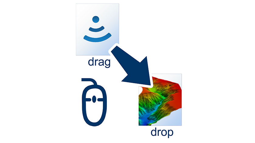
For users looking for the simplest way to open and process their data, HIPS and SIPS now supports Drag and Drop for raw sensor files. When you Drag and Drop files onto the application, the raw data is automatically processed, georeferenced, and a gridded surface is created.
Version 11.0 also offers one-step processing. The new Georeference Bathymetry function is a single step which initiates Sound Velocity Correction (SVC), Load Tide, Apply Tide, Merge, and Compute Total Propagated Uncertainty (TPU). The same trusted algorithms are still applied but with the added benefit of being combined into a single process. This creates a more streamlined user experience requiring less interactions, and eliminates the need to concatenate Sound Velocity Profiles into a single file.
Interface changes in HIPS and SIPS 11.0 improve data interaction and provide a consistent user experience across the CARIS™ product line with enhanced filtering, grouping, and display set-up properties.
Another new capability is the concept of having Dynamic or Static layers for tracklines. This allows the user to create a rule-based layer using any of the trackline attributes. The dynamic trackline layer is a great way to manage your processing workflow, as data can be automatically grouped into layers based on what stage it is in at the process.