PGS to Map North Sumatra in 3D Multi-Client Survey
Ocean News
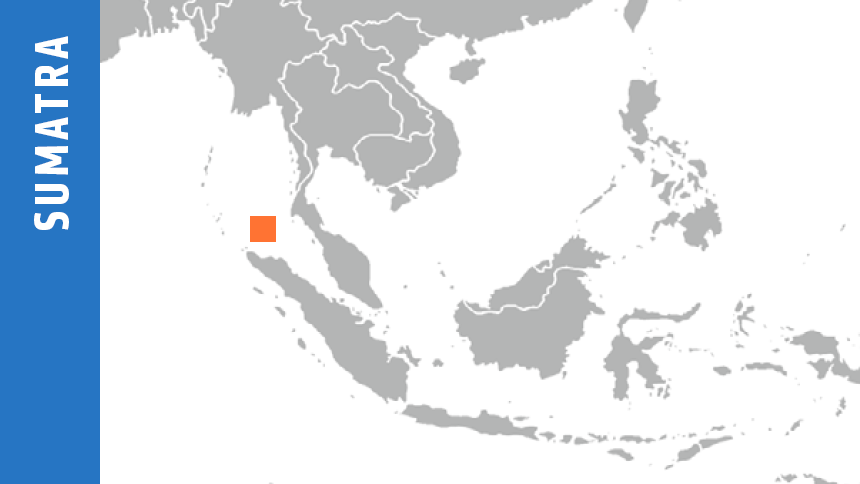
The latest PGS triple-source Multi-client 3D survey, in the Andaman Basin offshore Indonesia, will enable a better understanding of current Miocene Carbonates and Miocene/Pliocene clastics plays and is expected to provide more clarity on the untested deeper syn-rift play.
Technology Highlights
- Multisensor GeoStreamer broadband acquisition
- Triple source for acquisition efficiency
- Overlap shooting with iterative inversion in deblending
 The acquisition phase will be carried out using the PGS Apollo, a modern high-capacity vessel equipped with multisensor GeoStreamer technology. GeoStreamer delivers unmatched broadband seismic data with greater signal-to-noise ratio, improved resolution of seismic events and imaging of structure, and better depth penetration.
GeoStreamer achieves true broadband seismic. The combination of hydrophone and velocity sensor recordings allows precise receiver deghosting via a method of wavefield separation that separates the total recorded wavefield into its up-going and down-going components.
Wavefield separation delivers deghosted field data right at the acquisition stage. The prestack amplitude and phase are preserved, ensuring accurate and robust prestack analysis of AVO, inversion, and quantitative interpretation. This analysis will be an essential component of prospect delineation and development in North Sumatra.
Efficient and Effective
PGS delivers high-quality MC3D seismic data using the latest technologies at a competitive market cost. A triple-source configuration will be deployed for improved efficiency in the acquisition; shot overlap will be mitigated using a proactive approach of randomized shot firing times, followed by deblending with iterative inversion.v
Data will be available for viewing in 2019.