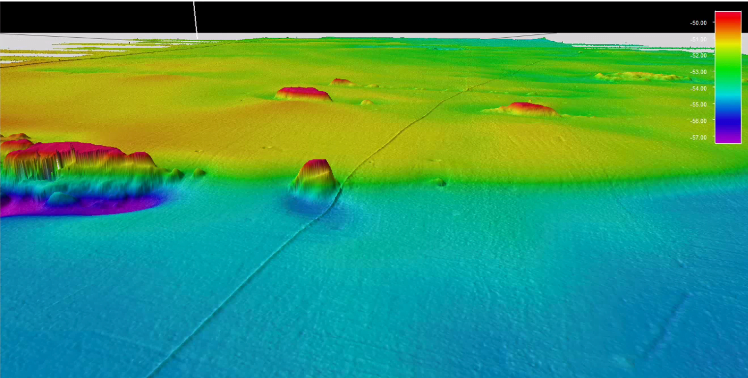
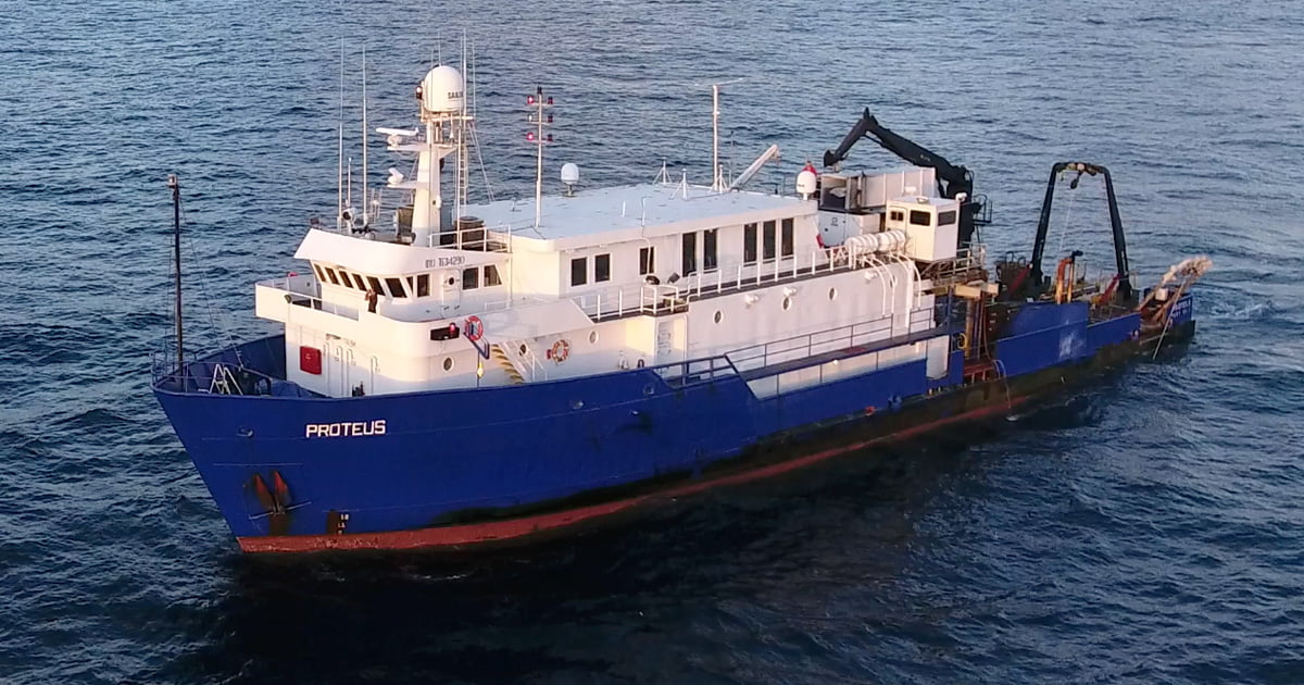
 Data examples from the project on the Proteus. Kongsberg EM710 MKII multibeam echosounder data illustrating a pipeline in ~50m depth. (Image credit: TDI-Brooks)
 Kongsberg EM710 MKII multibeam echosounder data illustrating historical spud can impressions near well site in ~50m depth. (Image credit: TDI-Brooks)
The primary objective for these projects is to identify potential hazards and factors of operational significance relative to the placement of drilling rigs. This involves exploring and defining shallow gas accumulations up to depths of approximately 2,000 feet below mud line (BML) or 2.0 seconds two-way time (TWT) through the acquisition and interpretation of high-resolution 2D seismic data. The focus also extends to the identification of seafloor obstructions, investigation of the proposed area’s seabed for potential man-made and geological hazards, and the determination of water depth and seafloor conditions.

