OceanWise Awarded 4-year GIS Marine Data Contract
Ocean News
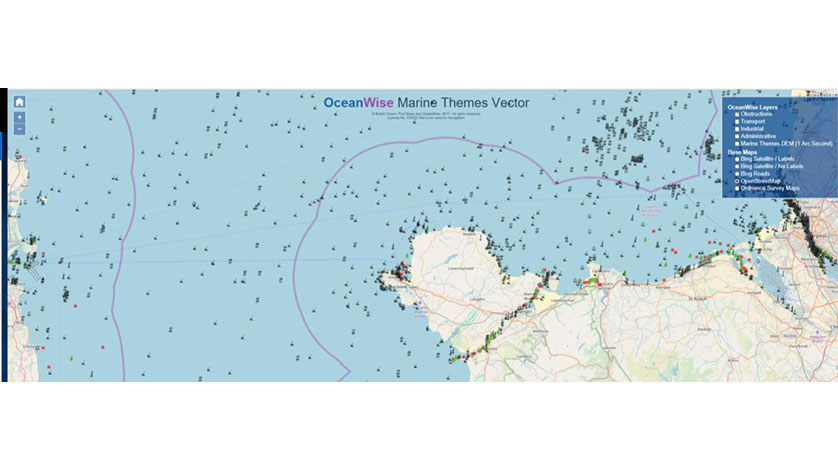
Demo data for Marine Themes Vector with Obstructions & Transport layers selected
OceanWise has been awarded the Framework Agreement for the provision of GIS Marine Data to the Scottish Government.
OceanWise will be delivering marine mapping data products and services including Marine Themes Vector, Marine Themes Digital Elevation Model (DEM), Raster Charts and Raster Charts eXcluding Land (XL) to Central Government Departments and Agencies, as well as Regional Councils, all of whom will benefit from having access to the data for decision support and asset management.
OceanWise’ data mapping products have been designed to provide data that is fit for purpose, in the right format, accurate and up to date. Marine Themes Vector, for example, has been engineered into logical data layers for easy loading and efficient use in desktop and web-based Geographic Information Systems (GIS). The data attributes have been specifically designed to provide the best possible information for analysis. Chart boundaries have also been removed to create a seamless, simplified dataset.
You can demo the OceanWise marine and coastal mapping data here.