The project will combine Sonardyne’s underwater positioning systems and Guidance Marine’s relative surface positioning systems into one integrated solution to enable vessels to maintain safe passage in GNSS-denied environments or for dynamic positioning systems to maintain their position if they lose GNSS access or other sensors fail.
The Innovate UK-backed AutoMINDER (Autonomous MarIne Navigation in Denied EnviRonments) project will also create a common interface structure to allow the different sensors to be fed into one platform and develop an industry standard.
The system uses Sonarydne’s SPRINT-Nav, all-in one subsea navigation instrument, which combines Sonardyne’s SPRINT INS solution, Syrinx DVL and a high accuracy pressure sensor, into one tightly integrated unit. The tight integration enables highly accurate acoustic aided positioning by integrating sensor data from the Doppler Velocity Log (DVL) and/or other acoustic positioning inputs. Additionally, it takes in position data provided by Guidance Marine’s vessel-mounted CyScan laser instrument, which takes range and bearing measurements from targets mounted on buildings or stationary surface structures in the ocean, to calculate the vessel’s position and maintain positioning between targets.
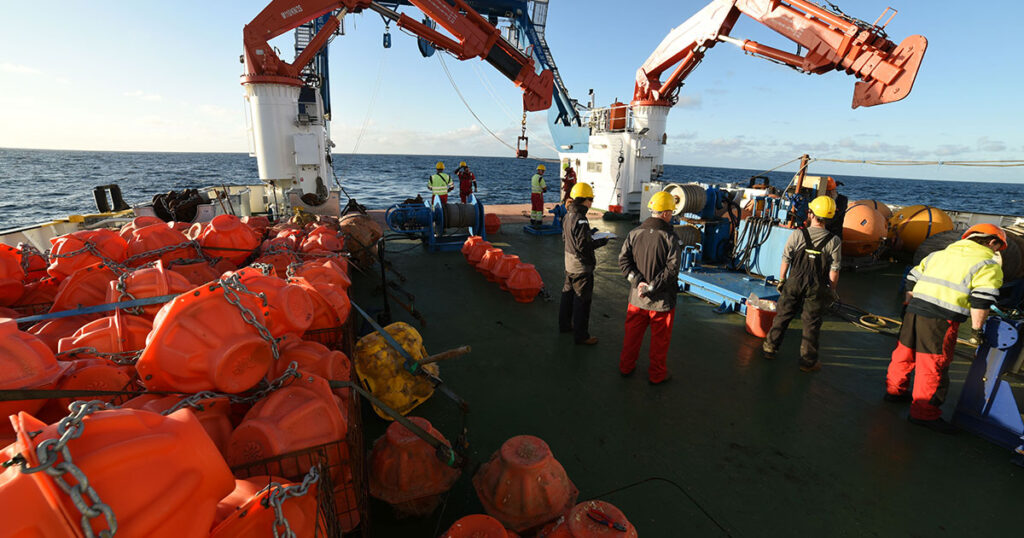
During trials earlier this year, a CyScan was mounted on Sonardyne’s Echo Explorer survey vessel incorporating additional GeoLock functionality. During a transit, between Sonardyne’s Plymouth Sea Trials and Training Centre and at the company’s classroom facility in nearby Turnchapel, where surface markers were located, the two instruments were used to calculate Echo Explorer’s position. Less than 0.5 metre positional deviation over a 1 kilometre transit was achieved during the trial, when compared with local, shore-based RTK Global Positioning System (GPS) data.
Trials later this year will to incorporate water track velocity data, using Sonardyne instruments, to further aid the INS positioning. Guidance Marine will also deploy its recently launched SceneScan product, which maps surface features of structures, such as offshore oil platforms, processes the point cloud data and applies simultaneous localisation and mapping (SLAM) techniques to provide relative position data – further expanding autonomous navigation capability.
“By proving and demonstrating these technologies, we will enable autonomous vessels to behave in a safe and predictable manner beyond the point at which existing systems revert to human control,” says Derek Lynch, Sonardyne’s Global Business Manager for Marine Vessel Systems. “This will include safe, reliable positioning in the event of a sensor failure (such as the denial of GNSS, which is becoming ever-more common), and enhanced positioning to enable moving in challenging and complex environments.”