NRL Researchers Search for Critical Ocean Sciences Data with Lidar
Nicholas E. M. Pasquini
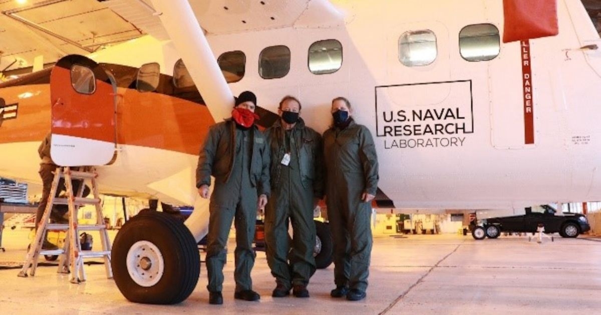
NRL researchers search for critical ocean sciences data with Lidar. Photo credit: U.S. Naval Research Laboratory.
U.S. Naval Research Laboratory researchers from the Ocean and Atmospheric Science and Technology Directorate along with the Scientific Development Squadron (VXS) 1’s UV-18 Twin Otter conducted airborne research last month in Homer, Alaska.
The team’s objective was to measure bubbles using lidar, a laser system for measuring the ocean properties. Improved understanding of bubble fields has many applications, including radiance, surface properties, and characterization of the ocean’s surface.
“We are characterizing bubble fields to help better predict the ocean environment for Navy operations,” said Damien Josset, Ph.D., an NRL oceanographer and principal investigator of the project who conducted the experiments onboard the Twin Otter.
Quantifying the oceanic whitecaps and subsurface bubbles is important to the Navy’s oceanographic models to characterize the long-term evolution of the ocean environment because bubbles are the primary way the atmosphere and oceans exchange heat, momentum, and gas.
Current remote sensing techniques for ocean research rely primarily on passive observations at different wavelengths, including, visible, infrared, and microwave to estimate water leaving radiance and surface properties, such as sea surface temperature, salinity, and wind.
“Lidar is fundamentally different because visible light penetrates well into the water body and it has the unique capability to provide a vertical profile of ocean properties,” Josset said.
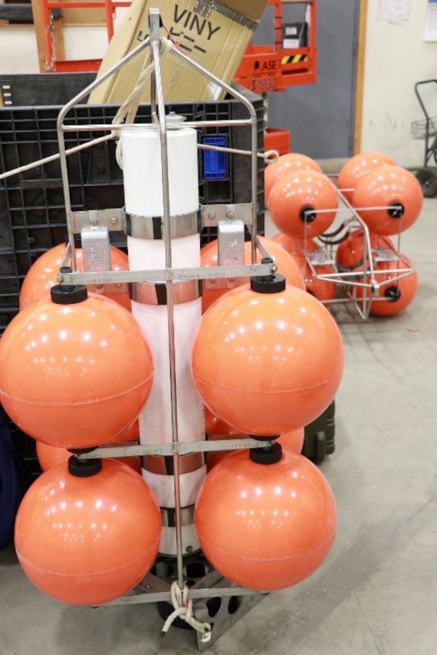 Photo credit: U.S. Naval Research Laboratory
NRL’s lidar system consists of a self-contained unit installed in a weatherproof enclosure, designed to be mounted on the Twin Otter’s research compartment with the laser pointed down into the water.
The project required high surface winds to create bubbles, or breaking waves, and good flying weather.
“It’s difficult to characterize the bubbles’ vertical properties, especially at global scale, which makes lidar an ideal tool to measure the bubble structure and properties,” said Josset.
The team deployed two underwater echo sounders and flew over the same area with the new airborne lidar system. The system was built with internal NRL basic research funding and is also a technology demonstrator for Josset’s Office of Naval Research CubeSat and Bureau of Safety and Environmental Enforcement oil projects.
“The goal is to test a small lidar that can provide high-resolution measurements of the ocean’s physical properties and of oil thickness, in case of oil spills,” Josset said.
“By improving the ability to characterize bubbly surfaces, improvements to ocean modeling and acoustic simulation can be achieved, as propagation can be significantly impacted by rough, bubbly ocean surfaces,” Josset said.
By Nicholas E. M. Pasquini, U.S. Naval Research Laboratory Corporate Communications