TCarta Highlighting Marine Geospatial Products at Oi 2018
Ocean News
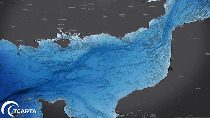
TCarta, a global provider of marine geospatial products, will highlight the uses of its Global GIS Bathymetry Package, Marine Basemap, and Satellite Derived Bathymetry datasets for safe and profitable operations of maritime vessels in coastal environments at Oceanology International. The conference and exhibition will be held March 13-15, 2018, in London.
TCarta personnel will be staffing Stand A30 in the Oceanology exhibit hall to demonstrate the ease with which TCarta’s marine geospatial products may be accessed online and downloaded into common GIS and mapping software. In addition, TCarta will discuss recent applications of its products and services by operators of maritime vessels, including MG3 Survey UK Limited, a marine geoscience survey firm that will also be exhibiting at Oceanology International.
“We routinely use the TCarta products to plan survey lines during the bidding process to ensure our projects are profitable,” said Steve Jackson, MG3 Group Quality Health & Safety Manager. “Then we rely on the TCarta bathymetric data to keep our vessels operating safely in the near-shore shallow-water environments.”
In addition to maritime safety applications, the TCarta products and services are used extensively in offshore geologic analysis, pipeline routing, fisheries evaluation, energy project siting, infrastructure development, coastal defense and dredging operations.
“TCarta Marine Geospatial Products and Services are ideal for enhancing the safety of maritime vessels and infrastructure development projects because these datasets offer excellent resolution and accuracy at a great price,” said TCarta CEO David Critchley.